


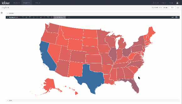
US States
Zoom into Zip +3 or a Congressional Map via Intricity's US States Visualization. This interactive chart allows you to color code any of the bounded areas with a measure of your choosing. Additionally as you hover over any area a tool-tip will appear showing the data.